More Canada Coloring Pages coloring pages


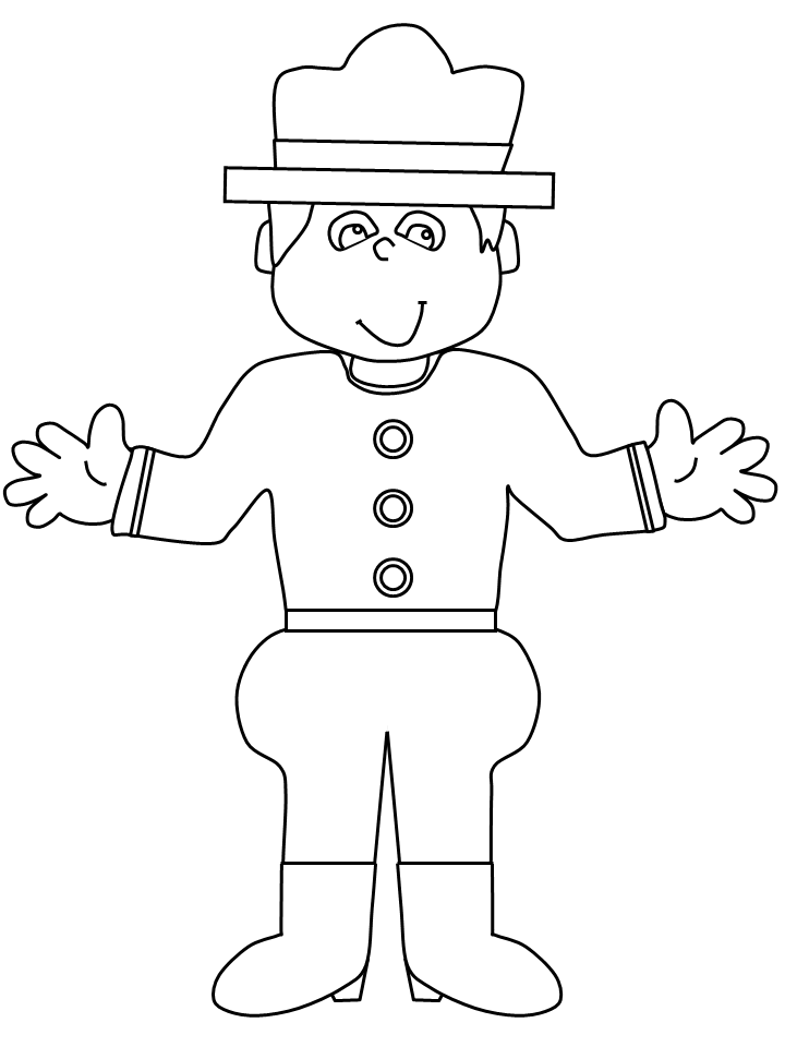
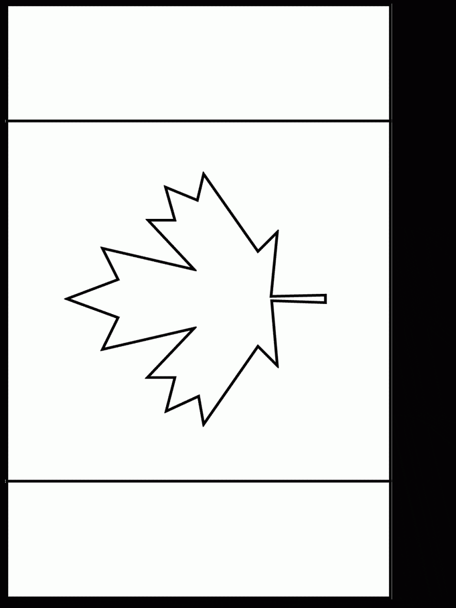
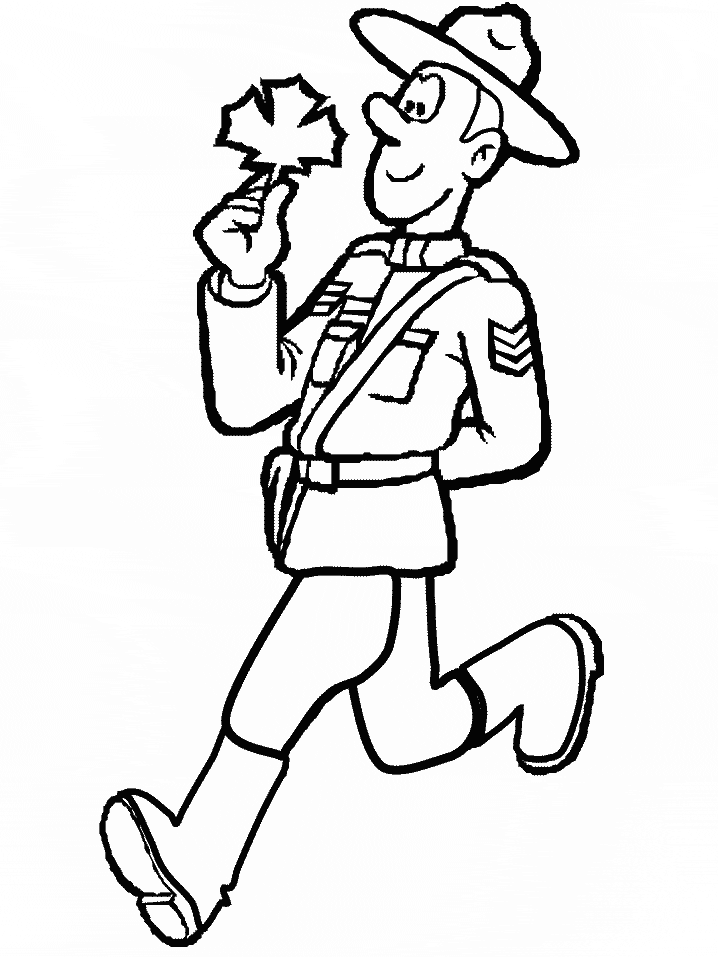
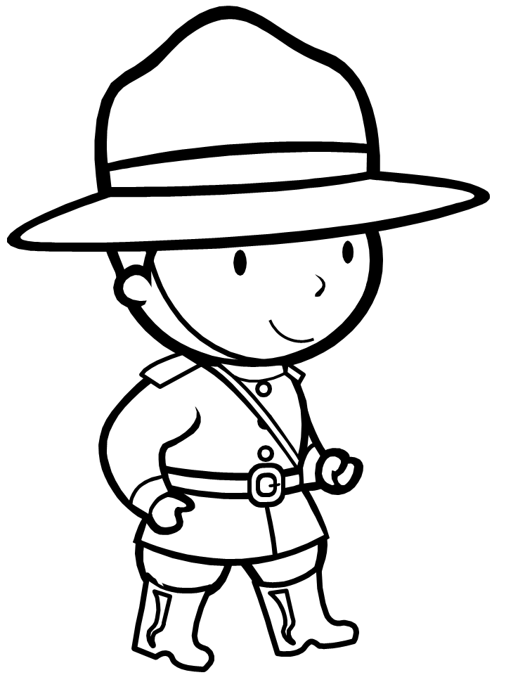
Are you looking for a fun and educational activity for a Canada-themed lesson or party? Look no further than our Canada Map Coloring Page! This printable page features a detailed outline of Canada’s provinces and territories, allowing your little ones to practice their geography while enhancing their fine motor skills with coloring. The coloring page also includes illustrations of Canada’s national symbols, including the maple leaf, beaver, and famous Mountie.
Encourage your kids to research the symbols and learn about their significance in Canadian culture as they color in these iconic images. The Canada Map Coloring Page is a perfect addition to any Canadian-themed event or classroom lesson. Grab your crayons and get ready to explore the beauty of Canada!
Did you know Canada’s borders are actually set by a line called the “Canada-United States Boundary”?
And did you know that Canada is made up of ten provinces and three territories? Fun Canada map facts like these make coloring pages of Canada even more exciting. But did you also know that Canada has the longest coastline in the world, stretching over 202,080 kilometers? Canada truly is one vast and diverse country. And while coloring in the different provinces and territories, don’t forget to include Canada’s inland seas, Arctic Archipelago, and myriad lakes and rivers.
Coloring the Canada map not only helps with geography lessons but also gives a sense of just how expansive this beautiful country is. So go ahead and grab your crayons – it’s time to explore Canada through coloring!
Looking for more coloring fun? Check out our other Canada coloring pages!