More Country Coloring Pages coloring pages

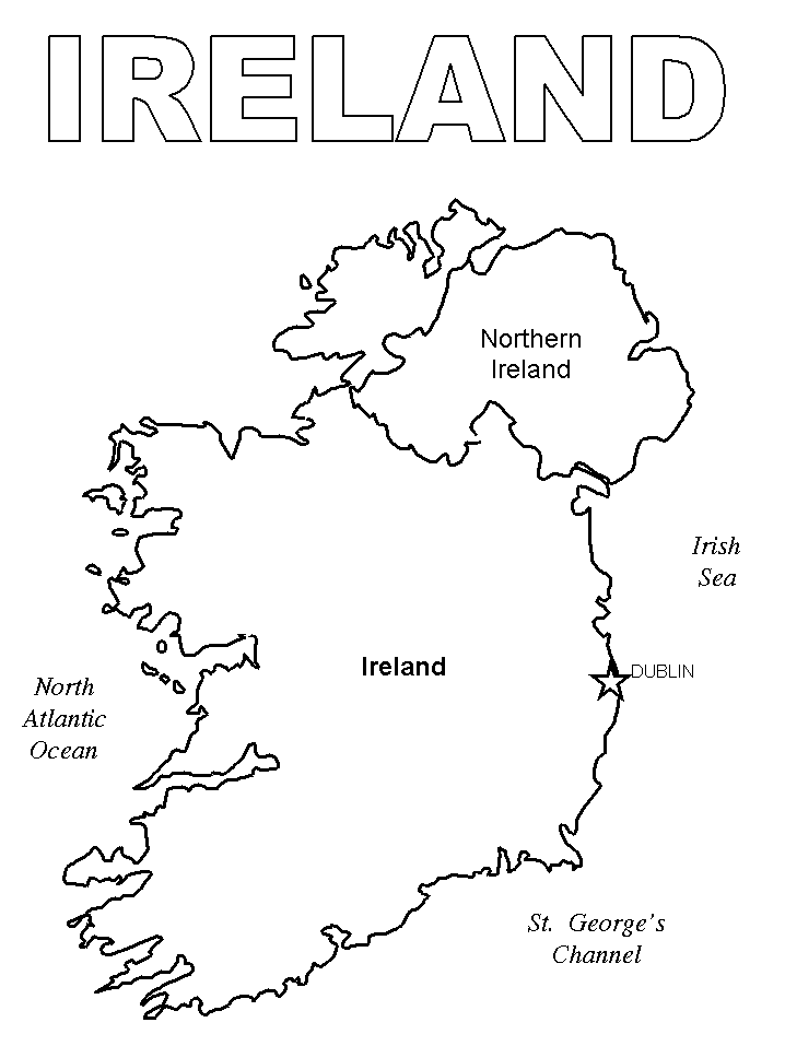
Ireland is known for its stunning scenery, including rolling green hills and rugged coastline. If you want to explore it all without leaving the comfort of your home, grab some crayons or colored pencils and start coloring on the Map of Ireland Coloring Page. You can use various shades of green and blue to fill in Ireland’s many fields and lakes, or add yellow for the country’s sandy beaches. And don’t forget to add a touch of orange to Dublin’s iconic terraced buildings! The Map of Ireland Coloring Page not only brings Ireland’s beautiful landscape to life, but also gives you a fun way to learn about the various cities, towns, and landmarks in this charming country. Just be prepared for the urge to book a flight to Ireland once you’re done!
Did you know that Ireland is made up of 32 counties? Or that its capital city, Dublin, sits on the east coast? Or that Ireland has more sheep than people? All of these fun facts can be seen on a map of Ireland. This small country, which measures just over twice the size of Rhode Island, is filled with stunning landscapes, vibrant cities, and rich history. The island’s rolling green hills are dotted with ancient castles and historic sites, while its coastal regions boast rugged cliffs and sweeping beaches. A map of Ireland is not only a handy tool for navigation, it also offers a glimpse into the unique culture and characteristics of this charming country. So grab your colored pencils or markers and get ready to explore the Emerald Isle with a coloring page map of Ireland. Happy coloring!
So what are you waiting for? Start exploring our coloring pages today! Want to see other Country coloring pages?