More St Patricks Day Coloring Pages coloring pages

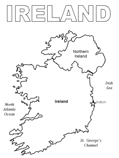
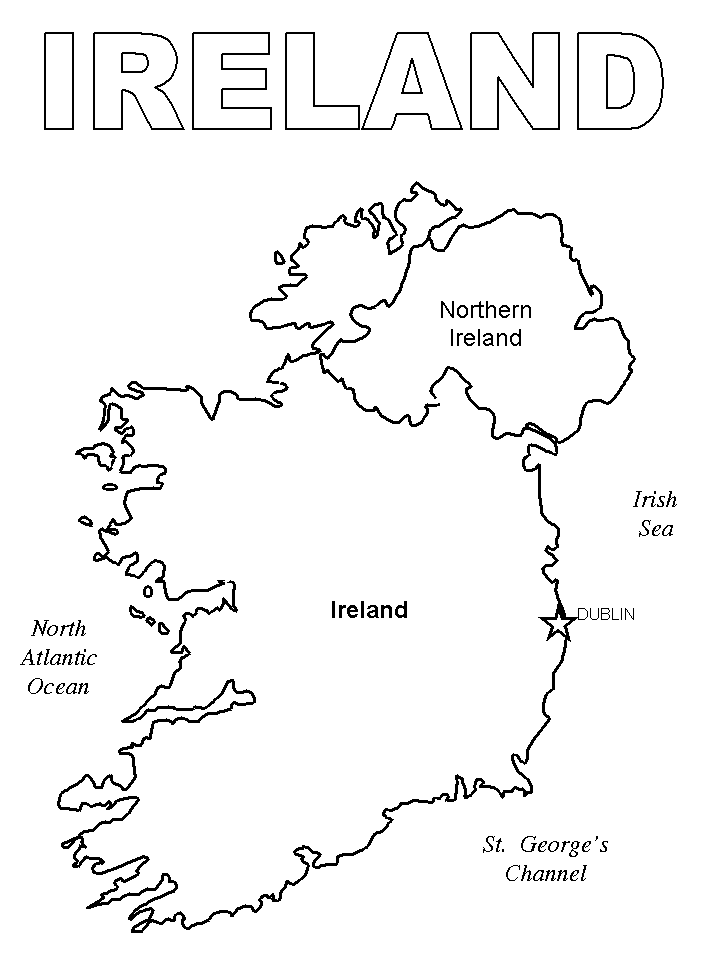
Ireland Map Coloring Page can be a great way to encourage kids to use their imaginations and have fun with colors. By adding some simple black lines to a white page, kids can create their own cartoon characters and bring them to life with color. Ireland Map Coloring Page can also be a great way to teach kids about different colors and how they work together.
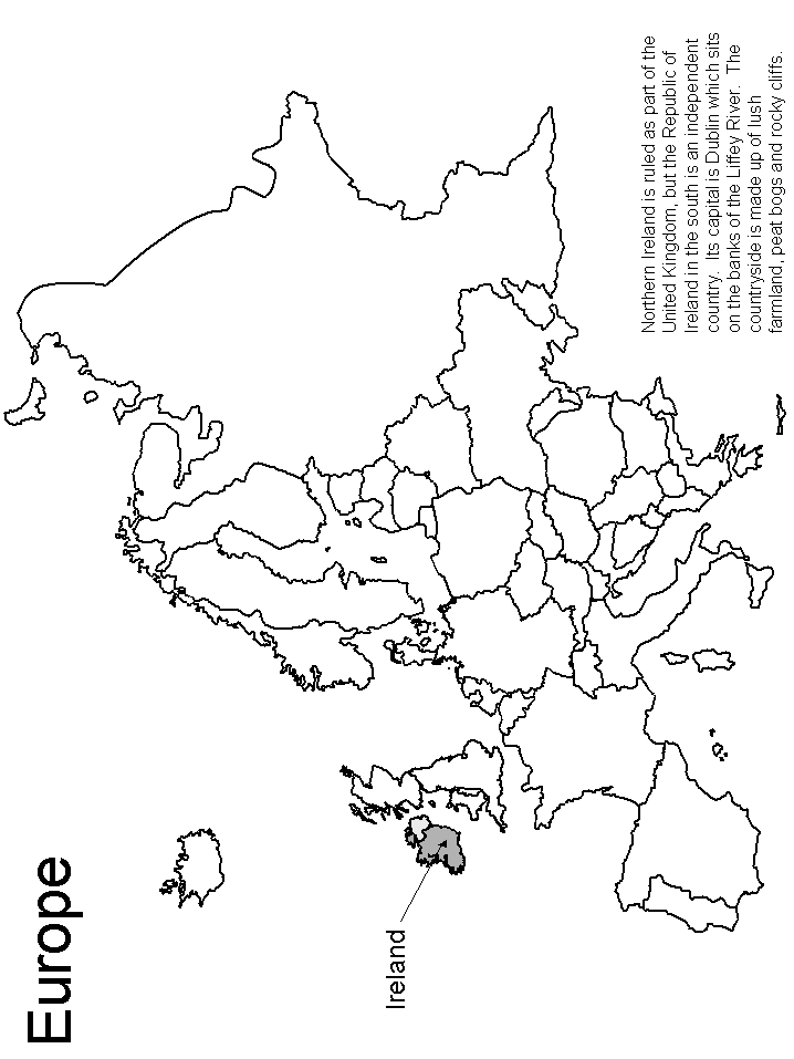
Ireland, also known as the “Emerald Isle,” is located in the North Atlantic Ocean to the west of Great Britain. About four-fifths of the island is occupied by the Republic of Ireland, while the remaining one-fifth is a province of the United Kingdom called Northern Ireland.
One of the British Isles in Ireland. Ireland and Great Britain are divided by the Irish Sea and the North Channel; the Celtic Sea is the body of water in the south separating Ireland from the European mainland.
The Republic of Ireland-United Kingdom border, sometimes known as the Irish border and dividing the Republic of Ireland from Northern Ireland, is the only land boundary in the country. Only the sea separates Ireland from the United Kingdom.
The Republic of Ireland is somewhat more than twice the size of Denmark, or slightly larger than the U.S. state of West Virginia, with an area of 70,273 km2.
In the Republic of Ireland, there are around 5.0 million people (in 2019). Dublin is the nation’s capital and largest city. Irish is the official language, and both Irish and English are spoken.