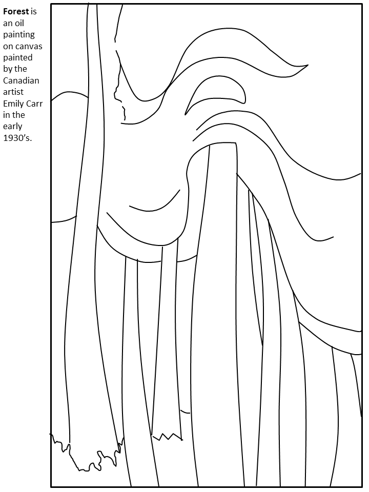
More Canada Coloring Pages coloring pages

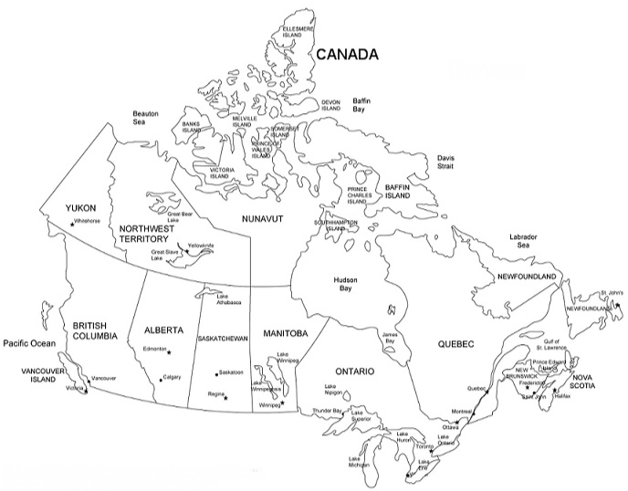
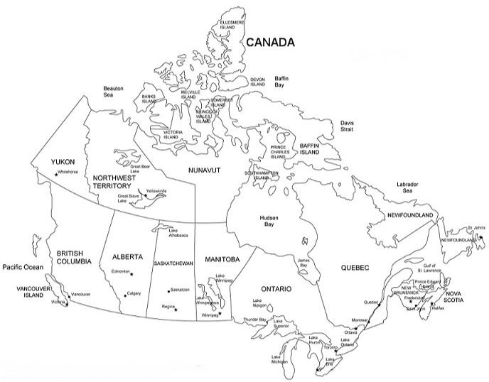
Map of Canada
See more country map coloring pages:
If you’re looking for a fun way to learn about Canada, why not try coloring in a Map of Canada Coloring Page? You can choose to color each province and territory a different color or use colors to represent different geographical features such as mountains or lakes. Not sure what all the provinces and territories are? Use this Coloring Page as a guide to fill in their names and work on your geography skills at the same time.
Whether you use colored pencils, markers, or even crayons, this coloring page is sure to provide hours of entertainment and education for both children and adults alike. So grab some art supplies and get ready for an informative and creative coloring experience!
Fun facts about Canada
Did you know that Canada has the second largest land mass in the world, after Russia?
Or that Nunavut is the largest territory in Canada and was only established in 1999? And did you know that Canada also has the longest coastline in the world, stretching over 202,080 kilometers? These are just some of the fun facts about our beautiful country. So grab some crayons and color in all 10 provinces and 3 territories while learning about our nation’s history and geography. This Map of Canada coloring pages are not just for kids – it’s a fun activity for all ages! So next time someone asks you where Saskatchewan is or what ocean borders Canada to the east, you’ll have your Map of Canada coloring page to reference. Happy coloring!
So what are you waiting for? Start exploring our coloring pages today! Want to see other country coloring pages?