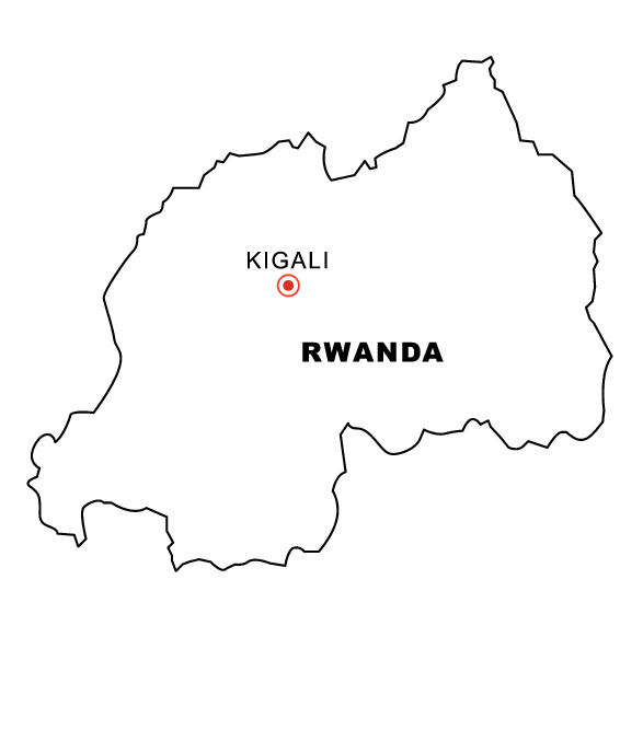
Rwanda is an incredible country with a rich history. What better way to start learning more about Rwanda than while being creative and having some fun? That’s why we’re so excited to introduce the Rwanda Map Coloring Page – a great way for kids and adults alike to explore Rwanda in a creative, engaging way! With this Rwanda map coloring page, you’ll be able to color in notable places, and geographic features, and learn more while having a blast. It’s a great activity for encouraging enthusiasm for Rwanda and educating young minds about the world. So get your crayons out and let’s get coloring Rwanda!
Rwanda, a small yet beautiful country located in the heart of Africa, is full of interesting facts and interesting geography.
Rwanda’s map is especially intriguing as it shows the country’s core geographical features such as its diverse terrain, rivers and lakes, and marshlands that are home to many animals. Rwanda also has some unique cultural points that can be seen from its map: the area around Nyungwe Forest is the traditional home of Rwanda’s Pygmies, and Lake Kivu has been a mainstay for Rwanda’s fishing and tea communities for centuries. If you’re curious about Rwanda and its unique culture, definitely take a look at Rwanda’s map! You might be surprised at what it reveals about this beautiful country.
So what are you waiting for? Start exploring our coloring pages today! Want to see other country coloring pages?
