More Country Coloring Pages coloring pages

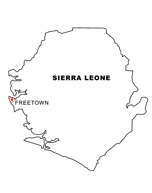
Sierra Leone Map Coloring Page is a fun and educational way to learn about Sierra Leone’s geography. The page features a map of Sierra Leone with colorful labels, allowing children to practice their coloring skills while also learning about the different nations within Sierra Leone, as well as its bodies of water. This can be used as a great tool when teaching Sierra Leone’s geographical regions or provinces, making it perfect for adults and kids alike. It is also an enjoyable way for children to explore Sierra Leone’s many attractions and cities. So grab some crayons or colored markers and get creative with the Sierra Leone Map Coloring Page!
FACTS!
Sierra Leone is a fascinating African country to explore. Not only is Sierra Leone home to unique landscapes and stunning wildlife, but it’s also full of exciting facts and stories. A Sierra Leone map not only offers the chance to investigate Sierra Leone’s geography but also shares some fun facts about this West African nation. For instance, Sierra Leone’s currency is the leone, the landscape is divided into four regions — Eastern Province, Southern Province, Northern Province, and Western Area — and their national animal is the patas monkey. Sierra Leone has an impressive GDP growth rate of 5%, thanks largely to its growing agricultural sector. When you’re researching Sierra Leone or planning for a visit to this vibrant nation, studying up on its map will help you have an even more enriching experience in Sierra Leone!
So what are you waiting for? Start exploring our coloring pages today! Want to see other country coloring pages?