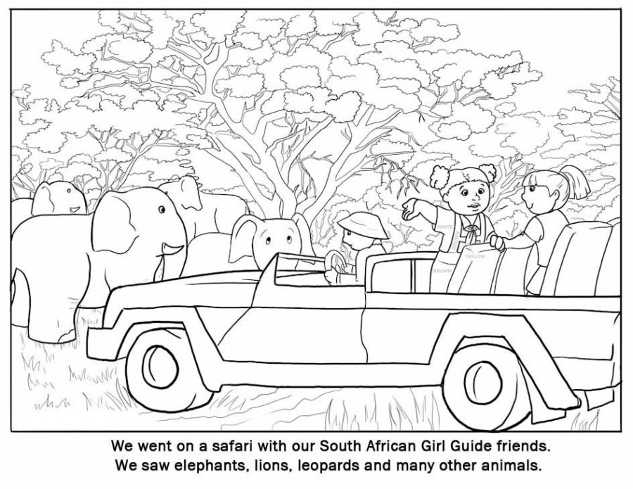
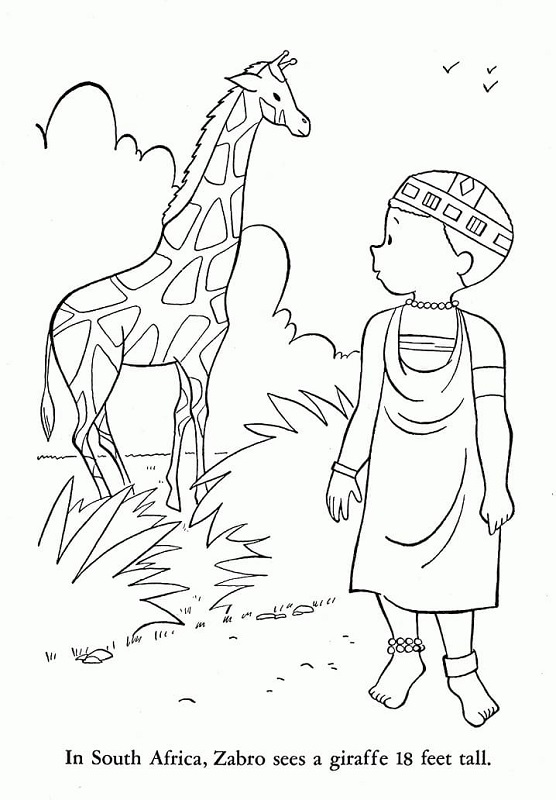
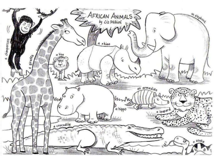
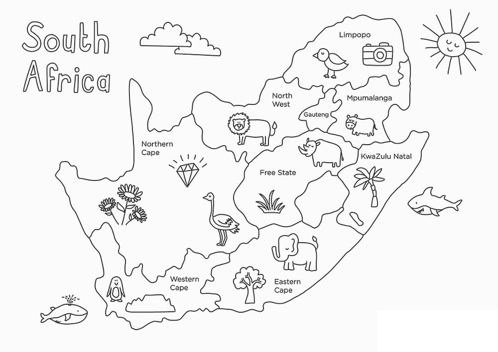
More Africa Coloring Pages coloring pages

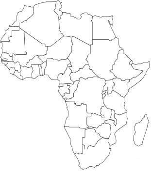
If you’re a lover of geography and coloring, then you’ll be excited to hear about the Africa Coloring Page Map! This unique map allows you to explore the vast continent of Africa while also unleashing your artistic side. Whether you’re a beginner or a professional, this coloring map is perfect for people of all ages and skill levels. It’s a great way to learn about the different countries in Africa, their unique cultures, and even their geography. You’ll love the intricate details of each country, from the deserts and mountains to the bustling cities and coastal towns. So why not grab some colored pencils and let your creativity run wild with the Africa Coloring Page Map? It’s sure to be a fun and educational activity that you won’t soon forget!
Are you interested in learning some fun facts about the Africa map?
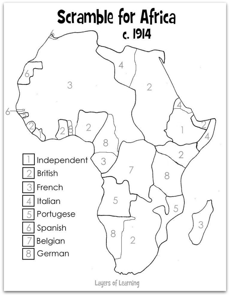
Well, did you know that Africa is the second largest continent in the world, after Asia? It’s also home to over 1 billion people and is made up of 54 countries. And here’s a bonus fact: did you know that Africa is the only continent to span all four hemispheres? Pretty cool, right? If you want to explore the geography of Africa even further, you can even print out an Africa coloring page map and fill in the countries yourself!
So, what are you waiting for? Start exploring our coloring pages today! Want to see other Africa coloring pages?