More indian coloring pages

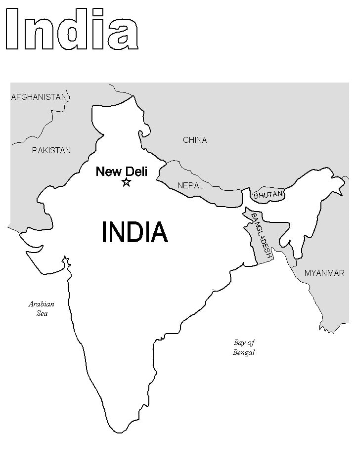
Are you looking for a fun and educational activity for your child? Look no further than the India Map Coloring Page! This printable activity lets your child explore India’s geography while developing fine motor skills. Plus, coloring can be an excellent stress-reliever for kids (and adults, too!), so it’s a win-win. Encourage your child to use different colors and talk about the different regions of India as they color. By the end, they’ll have a beautiful and personalized map to display proudly. Today, give your child the gift of creativity and learning with the India Map Coloring Page!
FUN FACTS!
India is a country that is unique in so many ways, and its map is a reflection of its rich diversity and cultural heritage. Did you know that India’s map is not just confined to the mainland but also includes the beautiful archipelago of Andaman and Nicobar Islands and the Lakshadweep Islands? Another fun fact about the India map is that it showcases the highest mountain range in the world, the Himalayas, which provides a stunning backdrop to some of India’s most scenic spots. The map of India also includes the vast Thar Desert, the bustling metropolis of Delhi, and the scenic coastline that stretches for over 7,500 km. Each state in India is a marvel in its own right, and the India map is a testament to the country’s rich tapestry of culture, history, and natural wonders.
So, what are you waiting for? Start exploring our coloring pages today! Want to see other Indian coloring pages?